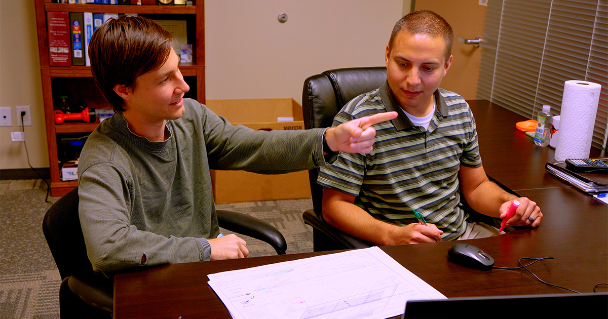

The Aguirre & Fields Planning and Program Management Group recently added Geographic Information System (GIS) analysis to its repertoire in what we can offer clients in municipalities throughout Texas and Oklahoma. Taking on the role is Analie Armendariz, who brings with her four years of experience in data gathering and analysis.
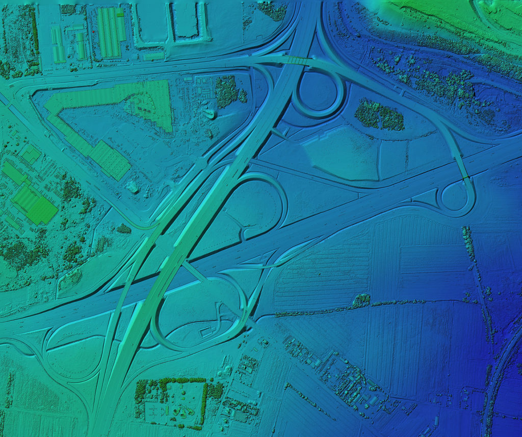
“GIS is technology that incorporates geographical features with tabular data in order for us to map, analyze, and assess conflicts and challenges,” says Armendariz. “It models the real world, and at its most basic level is a tool used for computer cartography. It allows us to analyze, as well as visualize, the data. It’s a map with a database attached to it.”
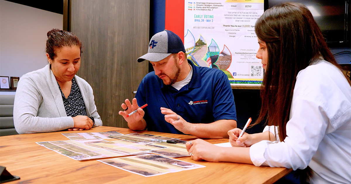
Use of GIS analysis provides Aguirre & Fields the opportunity to better serve communities by identifying needs and proposing improvements.

“Analie’s skill set gives us the ability to look at data in a different, simpler way— one that we can share with clients, such as cities and counties,” says Director of Planning and Program Management Jennifer Moczygemba, P.E. “It helps us assist them in planning, by proposing sidewalks or improvements to roadways or bridges, for example, in areas that need them the most, based on the data.”
“Our goal is to build a robust database with bridge, sidewalk, and roadway data—really as much data that is currently available,” adds Armendariz, “so we can point to any given area on a map and know what mobility improvements can be made just by looking at it.”
“GIS analysis really is a cornerstone for the services that we hope to offer local communities,” adds Moczygemba. “Articulating what the data means for clients, and how it can impact their community is in many ways more important than the data itself, and that’s where Analie excels.”
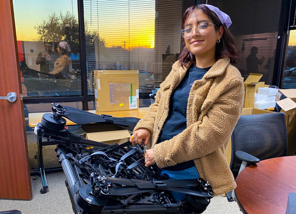
In addition to being a data analyst, Armendariz is a certified drone pilot with nearly 1,000 hours of logged flight time. She has used Light Detection and Ranging (LiDAR) technology in the past to map out locations and generate GIS data. In her current role, she is using her piloting skills to support engineers with bridge inspections.
“I really love flying drones, and the many ways they can be used is amazing,” says Armendariz. “The more we embrace using them in both planning and inspection, the more we will benefit from the data that they can provide.”
While Armendariz is driven to provide exemplary support to employees and clients alike, she also appreciates the support she receives working at Aguirre & Fields.
“Going from the geospatial realm to civil engineering has been an adjustment, but ultimately rewarding,” says Armendariz. “Plus, I couldn’t ask for a better supervisor in Jennifer, as she has played a crucial role in helping me communicate more effectively with our engineers about all the benefits GIS analysis can provide to their work and to our communities.”